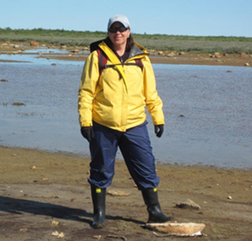
Dr. Joni Storie, Assistant Professor in UWinnipeg’s Department of Geography in the Faculty of Science
WINNIPEG, MB – A University of Winnipeg Assistant Professor is going to have a much better look at wetlands in and around Morris and Churchill, Manitoba, thanks to radar images taken by a Canadian satellite.
Dr. Joni Storie, (Geography) has been awarded a SOAR Education Grant from the Canadian Space Agency and MacDonald, Detwiller and Associates Ltd. It will provide her with 20 RADARSAT-2 satellite images worth $100,000. Ten images will be ordered for 2013 and another ten for 2014. The satellite will be programmed to obtain the specific images requested.
Information obtained from the images will be used to address two long-term research projects that can help meet the province’s Surface Water Management goal to map and monitor wetlands.
The purpose of the first project is to map potential sites for temporary wetlands in southernManitoba, around the Morris area. The images will show where the soils continue to have high moisture after the spring flooding has receded, making it too wet to plant crops.
The second study will use satellite images to map the extent of coastal wetlands ofHudson Baynear Churchill. This will help determine if the coastline is changing year to year, an issue that is a challenge with sea-level rise (climate change) as well as land rise (Isostatic rebound).
“Radar imagery has been used by the military for decades but is fairly new in terms of civilian and commercial applications,” said Dr. Storie. “The advantage of radar images is the longer wavelength can see through clouds. This is especially useful in spring when we have floods and in regions that have lots of cloud cover.”
Dr. Storie and her students hope to present preliminary findings in late August 2013 at the 34th Canadian Symposium on Remote Sensing inVictoria,BC.
Click to find out more about UWinnipeg’s Geography program.
MEDIA CONTACT:
Diane Poulin, Communications Officer,
TheUniversityofWinnipeg
P: 204.988.7135, E: d.poulin@uwinnipeg.ca


