The University of Winnipeg collaborated with NTNU (Gjøvik) University on a unique mapping project that engaged faculty and students from both institutions. UWinnipeg geographer Dr. Joni Storie and NTNU (Gjøvik) civil engineer Dr. Rune Strand Ødegard were the Principal Investigators for the Map production using advanced techniques in neural networks and remote sensing project funded by the Norwegian Agency for International Cooperation and Quality Enhancement in Higher Education (DIKU).
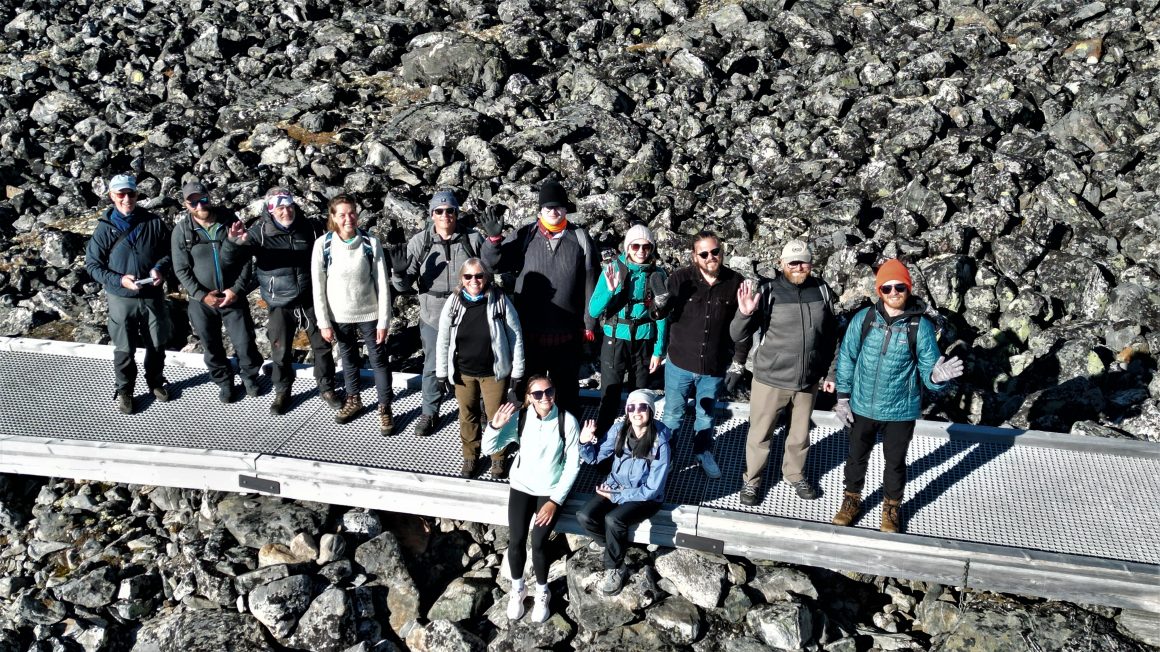
The two universities collaboratively offered field courses in Canada (August 2018) and Norway (August 2022) involving students from across disciplines in their final year of their undergraduate education.
The Norway field course also included graduate students’ projects from UWinnipeg’s Master’s in Environment and Social Change (MESC) and Master’s in Applied Computer Science and Society (MACSS) programs.
The students worked in small teams to solve geospatial problems and included the opportunity to analyze data, explore issues, problem solve, and evaluate situations in a spatial context with colleagues from both institutions.
Leah Hicks, a UWinnipeg alumna in environmental science and now an MESC graduate student, was one of the participants. She is collaborating with Tyler Kor, a fourth-year environmental science student on a special research project, Determination of glacier extent using thermal imagery.
Her research focuses on glaciers, specifically determining if glacier tongue extent can be detected using thermal infrared imagery. She used a hand-held thermal IR camera and compared the glacier extent that was determined on the ground to what can be determined using Landsat 8/9 thermal inferred satellite images collected on the same date.
“My favourite part of the trip was being able to see the landscapes and the history of Norway,” shared Hicks. “I am extremely grateful that I had the opportunity to work and connect with researchers and students who are working in the same field as me in a country as forward as Norway.”
Kor assisted several graduate students during the research, design, and sampling stages of their projects. He found his duties gave him valuable first-hand experience in a master’s level research project.
“The Norway field course was an excellent way to apply our classroom learning in a safe, positive environment,” said Kor. “I truly believe the trip to Norway was worth more than an entire year of learning, and I would go on a similar trip again in a heartbeat.”